| |  | | | |
|---|
 | | |  | | |
 | | |  | | |
| | |  | | |
| | |  | | |
| | | 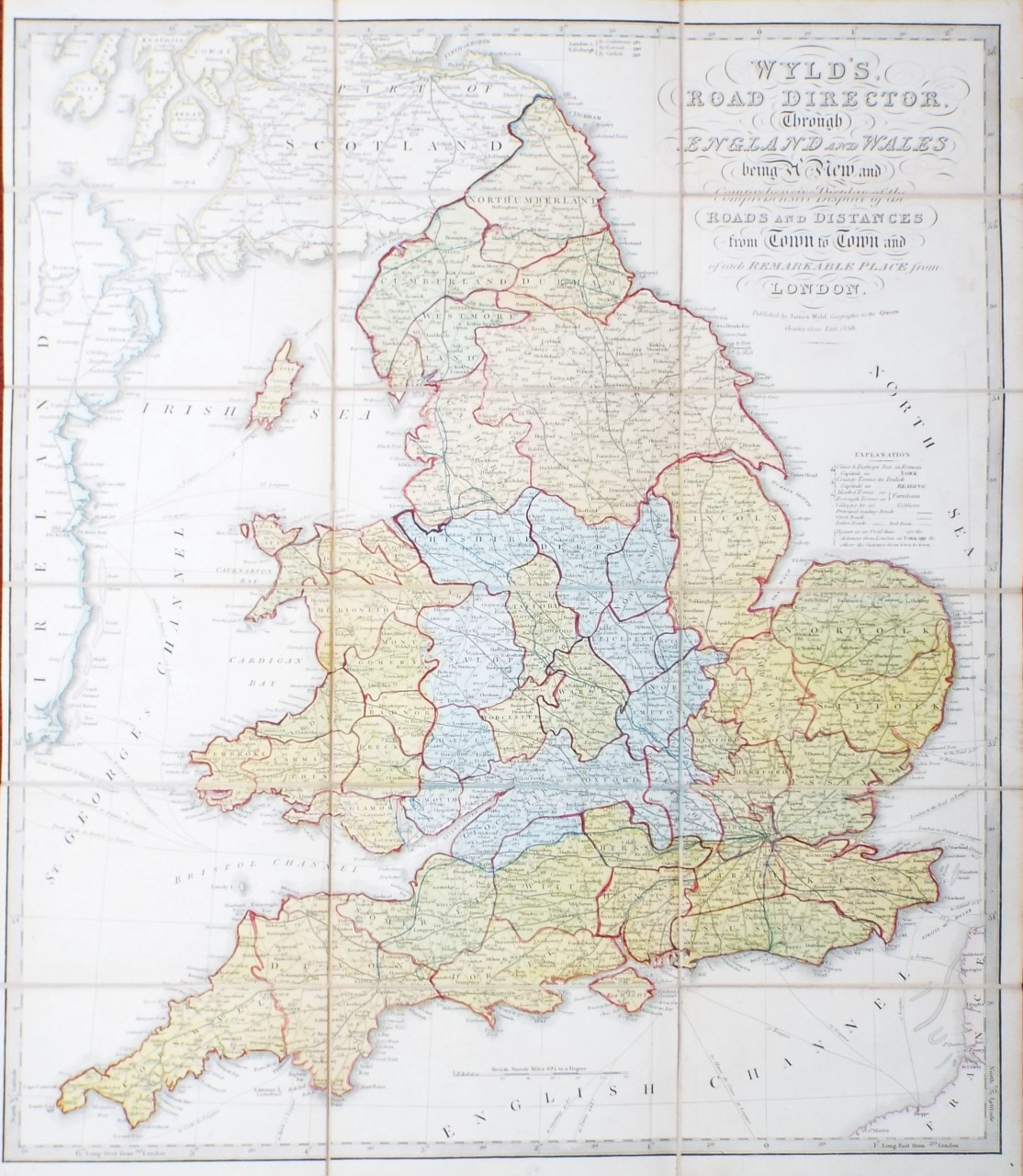 | Wyld's Road Director, Through England and Wales being a New and Comprehensive Display of the Roads and Distances from Town to Town and of each Remarkable Place from London.
Ref: P/30755
Region: British Isles
Type: Copper
Publisher: James Wyld
Date: 1838
 |
| |
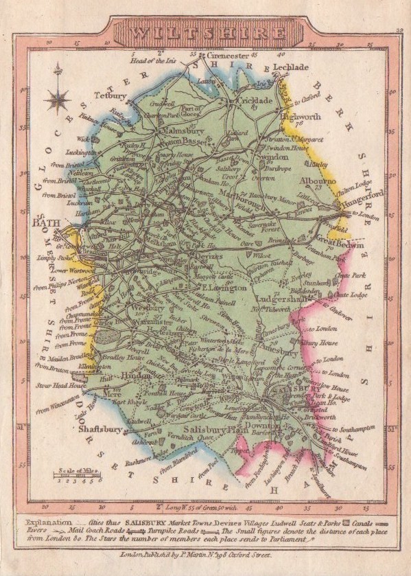
| | | 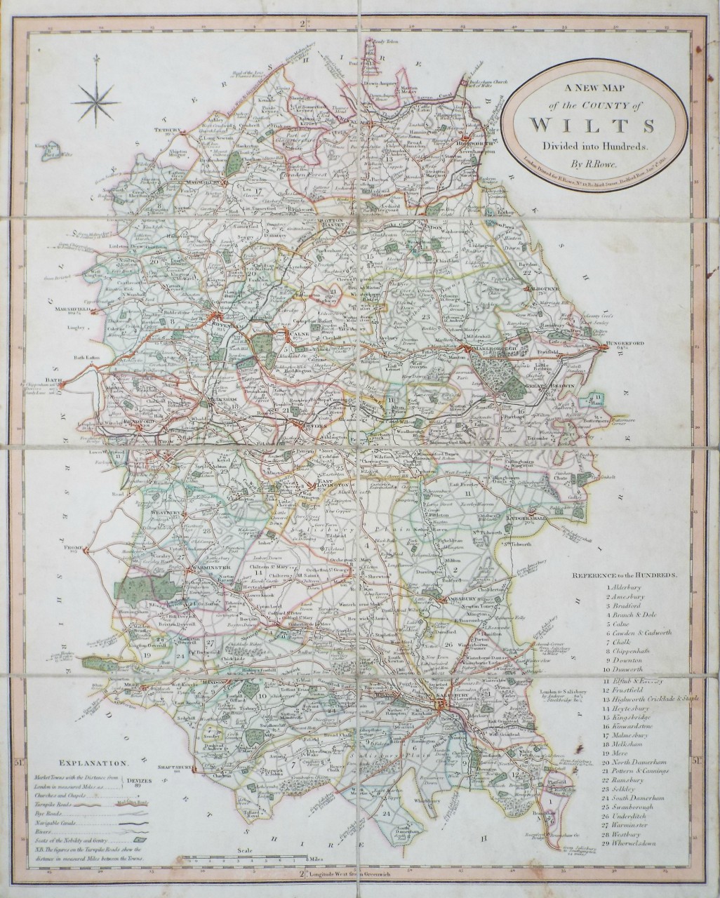 | A New Map of the County of Wilts Divided into Hundreds.
Ref: P/26128
Region: Wiltshire
Type: Copper
Publisher: R. Rowe
Date: 1815
Not for sale |
| |
| | |  | | |
| | | 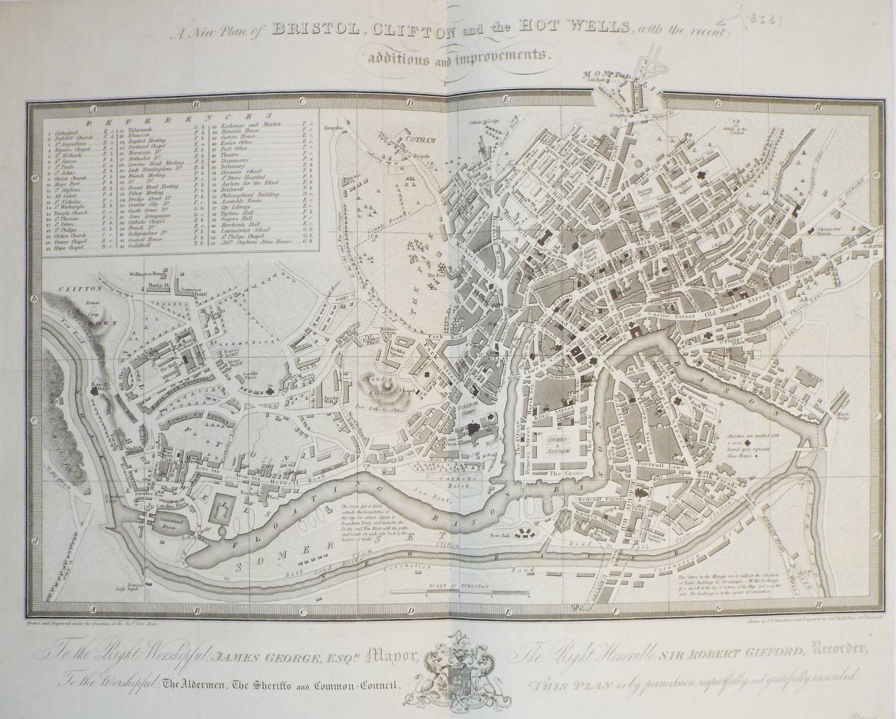 | A New Plan of Bristol, Clifton and the Hot Wells, with the recent additions and improvements.
Ref: P/24877
Region: Bristol
Type: Copper
Cartographer: Stansbury J F
Engraver: Hall S
Date: 1823
|
| |
| | |  | | |
| | | 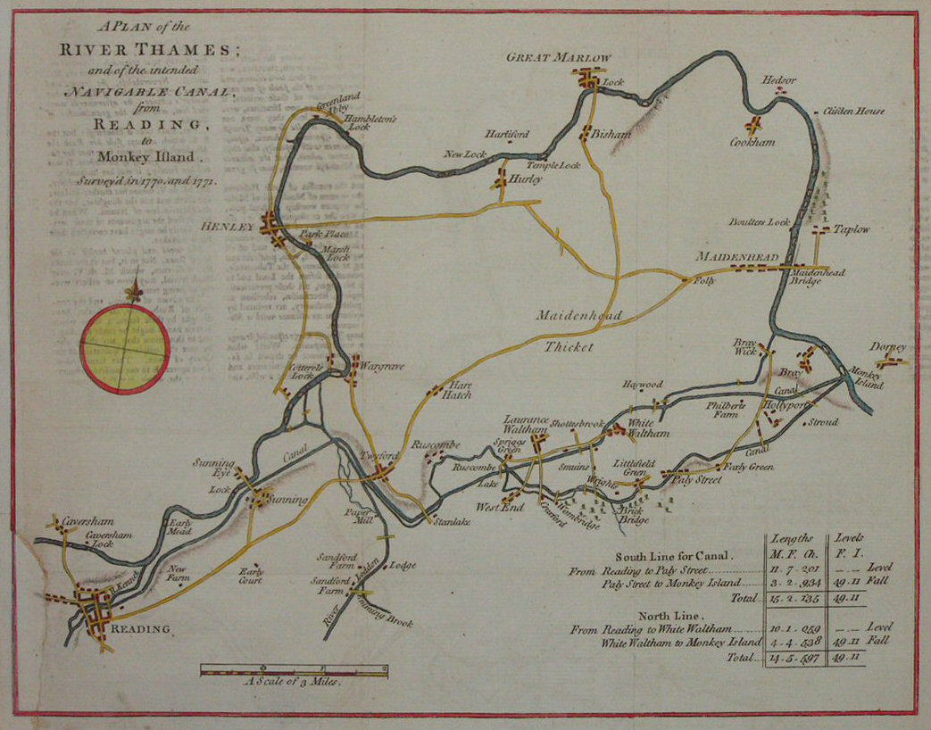 | A Plan of the River Thames; and of the Intended Navigable Canal from Reading to Monkey Island, surveyed in 1770 and 1771
Ref: P/5682
Region: River Thames
Type: Copper
Date: 1771
Sold |
| |